Google has introduced a new map view feature in Wireless Emergency Alerts for Android users as part of the Google Play services v26.12 update.
This update enhances the alerts by displaying the affected areas along with the user’s location directly in the notification. The feature aims to provide critical information during emergencies without requiring users to open a separate app, improving situational awareness.
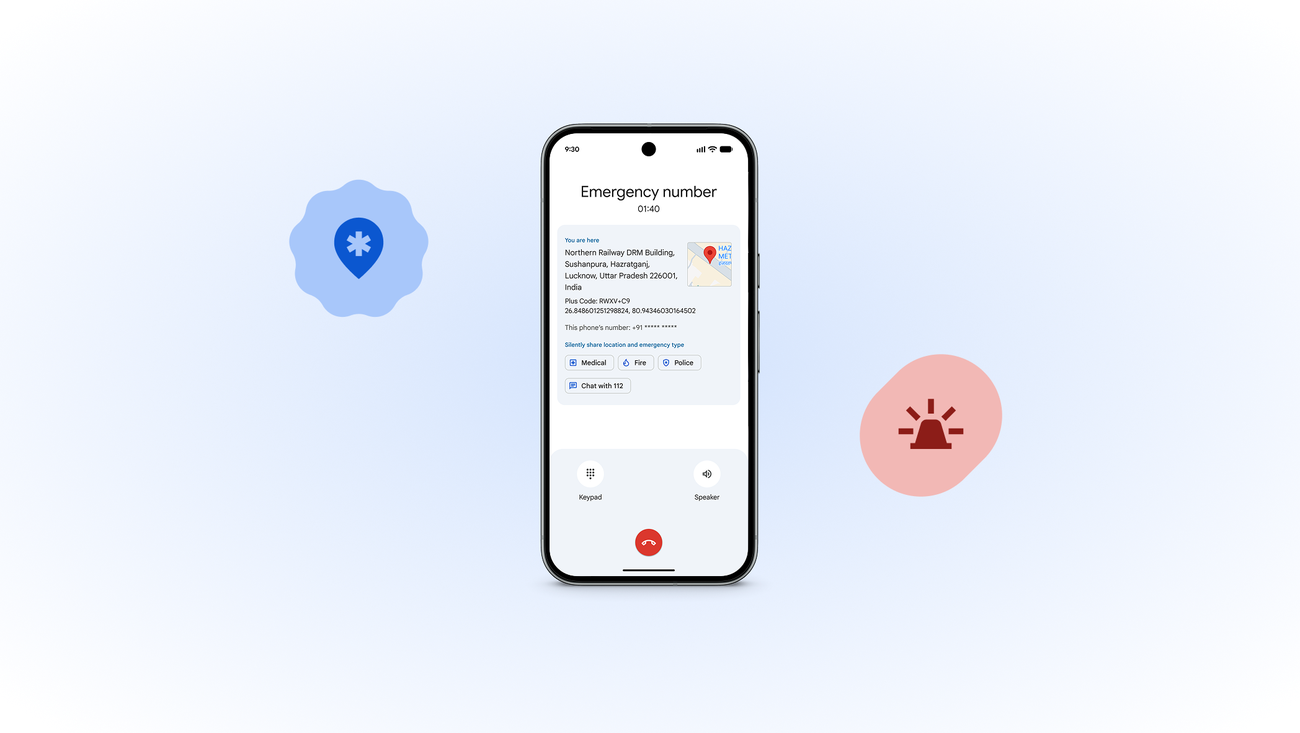
Wireless Emergency Alerts are government-issued notifications designed to deliver important information during crises. These alerts utilize a dedicated cellular channel to ensure delivery, even when normal networks may become overloaded.


Alerts cover various emergencies, including Amber alerts for missing children, natural disasters, imminent threats, and early earthquake warnings. Previously, alerts relied primarily on text, which could complicate understanding the specific location and scope of emergency situations.
The introduction of the map view feature is expected to facilitate quicker decision-making for users. Google stated that the rollout of this feature will happen gradually, and users may not receive the update immediately.
Wireless Emergency Alerts serve as a critical resource for public safety and are essential in various emergency scenarios. Google continues to enhance the effectiveness of this system with improvements like the new map view.