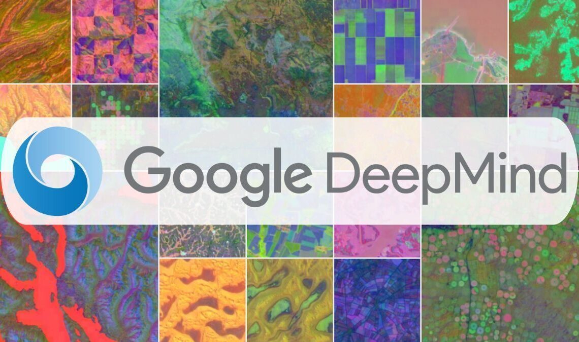
Google DeepMind has released its new artificial intelligence system, AlphaEarth Foundations, making its “Satellite Embedding dataset” available through Google Earth Engine. The system is part of the company’s broader “Google Earth AI” initiative and is designed to analyze the Earth’s surface with high accuracy by integrating data from satellites, radar, and other sources.
The technology’s core innovation is its ability to create highly compressed digital summaries for 10×10 meter areas of the planet. According to Google’s research, this method reduces error rates by approximately 23.9% and requires 16 times less storage space compared to other AI systems. A key capability is its support for “continuous time,” which allows the system to generate accurate maps for any specific date range by interpolating data to fill in gaps caused by factors like cloud cover.
The system, which has been tested by over 50 organizations in the past year, is already in use for practical applications. The organization MapBiomas is using it in Brazil to monitor deforestation in the Amazon, while the Global Ecosystems Atlas initiative employs it to map the world’s ecosystems for conservation purposes.


The dataset now available includes annual snapshots from 2017 through 2024, containing over 1.4 trillion data footprints per year. Google has stated that the system’s 10-meter resolution is designed for large-scale environmental monitoring and does not capture information that could identify individual people or objects.